
Tsunami Evacuation Maps for the North Coast: How to Read Them and Plan Your Route
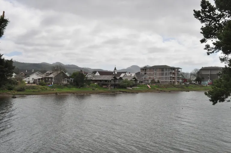
Photo: Rick Obst / Wikimedia Commons, CC BY 2.0.
Clatsop County sits next to the Cascadia Subduction Zone, an offshore fault that runs from northern California to British Columbia. When it ruptures, the result is a great earthquake followed within minutes by a tsunami. The last one happened on the night of January 26, 1700. The state’s tsunami maps are the most useful tool North Coast residents and visitors have for getting ready for the next one.
Who makes the maps
The Oregon Department of Geology and Mineral Industries (DOGAMI) modeled tsunami flooding along the whole coast and published updated tsunami inundation maps and evacuation brochures in the early 2010s. The maps for Warrenton, Astoria, Gearhart, Seaside and Cannon Beach showed that some low-lying areas, especially in Warrenton, the Seaside flats and parts of the Clatsop Plains, are inside the zone a large local tsunami could flood.
Two kinds of tsunami
- Local (Cascadia) tsunami. You’ll feel a strong, long earthquake, possibly several minutes of shaking. The first waves can reach the outer coast in roughly 15 to 30 minutes, and later than that farther up the Columbia estuary. There won’t be time for an official warning. The shaking is the warning.
- Distant tsunami. A distant tsunami is set off by an earthquake elsewhere in the Pacific, like the 2011 earthquake in Japan. It arrives hours later, and official alerts give time to evacuate. Its flood zone is usually much smaller.
The maps show both zones, so check which one you’re in.
How to plan a route
- Find your locations on the map: your home, work, school and the places you visit often.
- Find the nearest high ground outside the local tsunami zone. Assembly areas are often marked by blue-and-white evacuation signs.
- Plan to walk, not drive. After a large earthquake, roads and bridges may be damaged and quickly jammed with traffic. State and local emergency managers say the safest plan for most people is to evacuate on foot.
- Walk the route ahead of time and time it. Practice in the dark and in the rain, and with children or pets if you’ll have them with you.
- Stay on high ground until officials say it’s safe. Tsunamis come as a series of waves over many hours.
Where to get maps
Printable evacuation brochures and an interactive map are on DOGAMI’s Oregon Tsunami Clearinghouse website. You can also get them from Clatsop County Emergency Management and from city halls. Several North Coast cities have run evacuation drills and installed signs, and Clatsop County offers emergency alert sign-ups.
Get ready for after the waves
After a Cascadia earthquake, outside help could take a long time to reach the coast. Oregon’s 2 Weeks Ready campaign recommends keeping enough water, food, medicine and supplies to get by on your own for at least two weeks. See our guide to earthquake and tsunami preparedness.
Sources: Oregon Department of Geology and Mineral Industries (DOGAMI), Oregon Tsunami Clearinghouse; Oregon Office of Emergency Management, 2 Weeks Ready; Clatsop County Emergency Management; U.S. Geological Survey, Cascadia Subduction Zone.


 By
 By