The Winter at Fort Clatsop: Lewis and Clark, the Clatsop People and the Rainiest Season of the Expedition
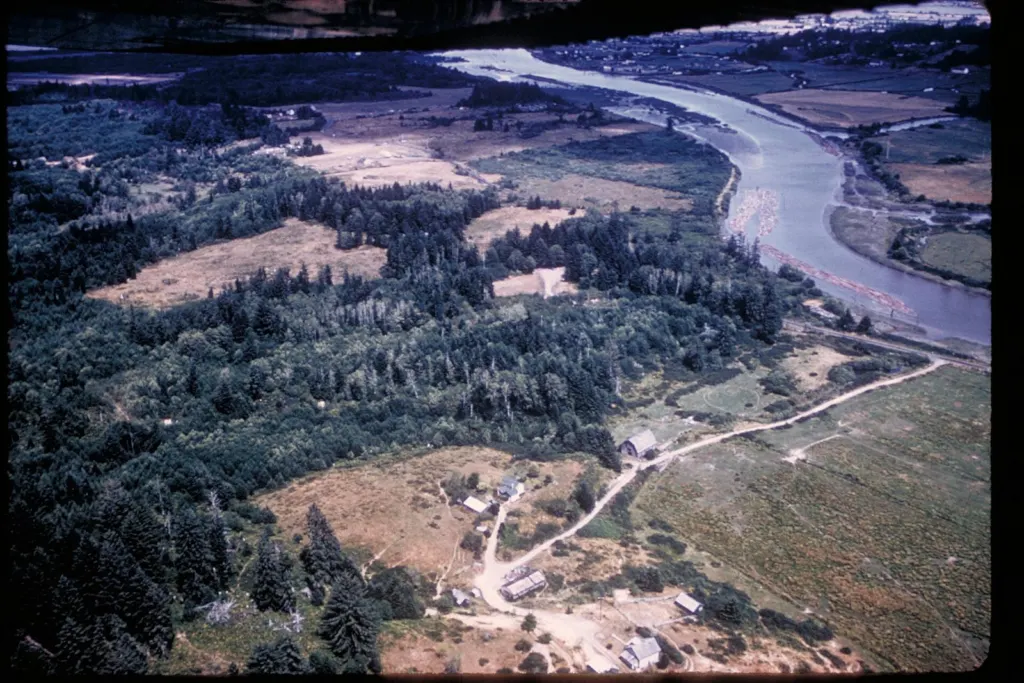
Photo: NPS staff / Wikimedia Commons, Public domain.
In November 1805, after more than a year and a half of travel, the Lewis and Clark Expedition reached the Pacific at the mouth of the Columbia River. The winter that followed, spent in a small log fort south of present-day Astoria, was one of the hardest and most important parts of the journey.
Choosing a winter camp
The expedition first camped on the north, Washington, side of the river, where storms pinned the party down. In late November, the members voted on where to spend the winter. The vote famously included York, the enslaved man who traveled with William Clark, and Sacagawea, the Lemhi Shoshone woman who traveled with the expedition. They chose the south side, near the Netul River, now the Lewis and Clark River, where elk were plentiful and the Clatsop people lived nearby.
The party built Fort Clatsop in December 1805: two rows of small log cabins facing each other, joined by a stockade. They moved in around Christmas.
The people
- Meriwether Lewis and William Clark, the expedition’s co-leaders, spent much of the winter writing up their journals, describing plants and animals new to science and drawing maps. Clark’s map of the West, based on the winter’s work, was one of the expedition’s major results.
- The soldiers and civilians of the Corps hunted elk, made moccasins and clothing from hides and rendered tallow.
- Sacagawea, her infant son Jean Baptiste Charbonneau and her husband, Toussaint Charbonneau, wintered at the fort. Sacagawea insisted on going along on a January trip to the coast to see a beached whale.
- The Clatsop people, a Chinookan-speaking nation who had lived along this shore for generations, traded with the expedition throughout the winter. The journals frequently mention Coboway, a Clatsop leader who visited the fort and traded with the party.
Rain, elk and salt
The winter was wet. The journals record rain on all but a handful of days between November and March. Fleas and damp clothing made the cabins miserable, and many in the party were sick at times.
To preserve meat and season food, a detail of men set up a salt works on the beach at what is now Seaside, boiling seawater in kettles for weeks. A reconstruction of the salt cairn stands in Seaside today.
In January 1806, Clark led a group, including Sacagawea, over Tillamook Head to see a whale that had washed ashore near present-day Cannon Beach. They bought blubber from the Tillamook people there.
Leaving
The expedition left Fort Clatsop on March 23, 1806, and Lewis gave the fort to Coboway. The party also took a Clatsop canoe without paying for it, an act historians have noted as a stain on the relationship. The fort eventually decayed.
Visiting today
The Lewis and Clark National Historical Park, managed by the National Park Service with Oregon and Washington state parks, includes a replica of Fort Clatsop, a visitor center, trails along the Lewis and Clark River and the Fort to Sea Trail. Rangers lead demonstrations in summer. The Clatsop-Nehalem Confederated Tribes share the history of the Clatsop and Nehalem peoples, whose story did not end with the expedition’s departure.
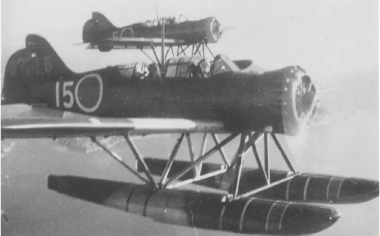
For more North Coast history, see our profile of the pilot who bombed Oregon in 1942 and our guide to the Scandinavian Midsummer Festival.
Sources: National Park Service, Lewis and Clark National Historical Park; Journals of the Lewis and Clark Expedition (University of Nebraska Press online edition); Oregon Encyclopedia (Oregon Historical Society), Fort Clatsop and the Clatsop people; Clatsop-Nehalem Confederated Tribes.

 By
By